
 TR
 EN
 AR

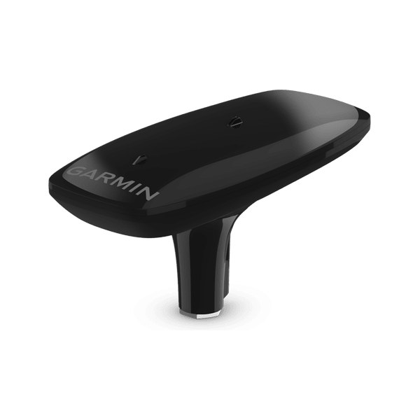
Garmin MSC 10 Marine Satellite Compass
Product code: 010-02407-00
Satellite compass providing 2° RMS heading, sub-1 m position and heave data with multi-band GPS.
MSC 10, white
- 2° RMS heading accuracy
- Typical sub-metre position accuracy
- 8 cm RMS heave accuracy
- On-site installationBodrum, Didim and Ören
- Installation and setupCalibration, network integration and software updates
- Price and stockContact us for current price and delivery time
MSC 10 Marine Satellite Compass
The MSC 10 is a satellite compass with a multi-band GPS receiver that provides precise heading, position and heave data unaffected by magnetic interference. It is an ideal data source for radar overlay, MARPA, the autopilot and sonar heave correction. It needs no compass safe distance; white and black colour options are available.
Key Features
- 01
2° RMS heading accuracy
- 02
Typical sub-metre position accuracy
- 03
8 cm RMS heave accuracy
- 04
No compass safe distance required
- 05
NMEA 2000 connection, white / black
Technical Specifications
| General | |
|---|---|
| Heading accuracy | 2° RMS |
| Position accuracy | < 1 m CEP |
| Heave accuracy | 8 cm RMS |
| Power supply | 9–32 V DC |
| Waterproofing | IPX7 |
| Connection | NMEA 2000, 6 m cable |
Product Codes
Giving the product code when requesting a quote helps us find the right model quickly. You can choose a model with the "Select" button on its row.
| Product code | Description | Work |
|---|---|---|
010-02407-00 | MSC 10, white | |
010-02407-10 | MSC 10, black |
Garmin installation and service
With our Turgutreis-based team we carry out installation, calibration and maintenance on your boat in Bodrum, Didim and Ören.
Similar Navigation & Satellite Communication Products
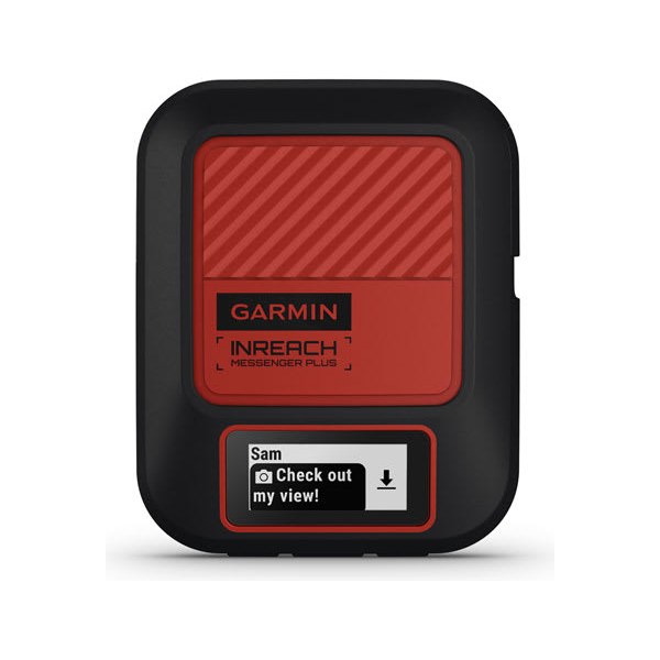
inReach Messenger / Messenger Plus
Pocket-sized communicator that sends messages and SOS via satellite where there is no phone signal.
View →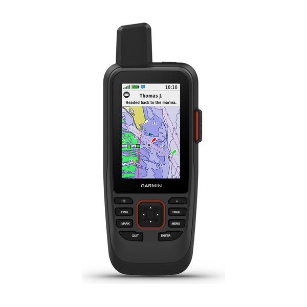
GPSMAP 86 Handheld GPS
Floating marine handheld GPS that can display boat data; models with inReach.
View →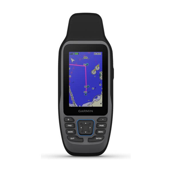
GPSMAP 79 Handheld GPS
Rugged, floating marine handheld GPS with maps, powered by AA batteries.
View →